Cluster · George Town, Grand Cayman
Seven Mile Beach (south)
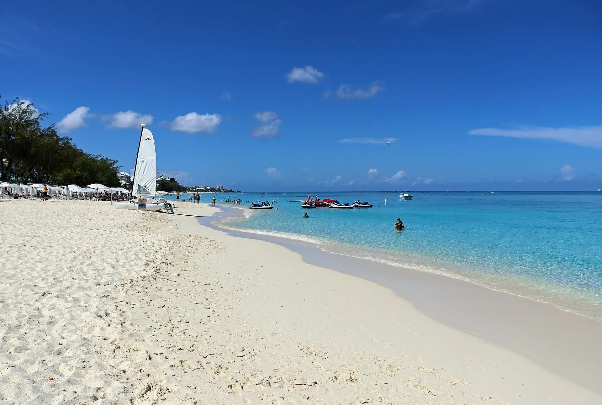
The beach base: the sand is public, the water is calm, and cafes and dive shops line West Bay Road; a morning swim and a sunset are the plan.
Key facts
- 28″ bags
- ok
- Time budget
- half
- Rescue coverage
- 100% ≤7′
- max p90 5.3′
- Places
- 5
- 1 sleep area in reach
Rules in force · 9Several islands (Turks and Caicos above all, also the Bah…Traffic drives on the left and roundabouts are common
- Caribbean ↗Several islands (Turks and Caicos above all, also the Bahamas and Jamaica) jail visitors for a single stray bullet or cartridge in their luggage; empty every bag and pocket before you pack.
- Caribbean ↗From August to October keep a free last day before your flight home and check the national hurricane centre daily; airports close when a named storm approaches.
- Caribbean ↗Wearing camouflage clothing is illegal for civilians in several islands, including Barbados, Antigua, Saint Lucia, Saint Vincent, Grenada, Dominica, Trinidad and Tobago and Jamaica; leave it at home, children's clothes included.
- Cayman Islands ↗The Cayman Islands set their own entry rules as a British Overseas Territory; check official Cayman Islands government sources for your passport.
- Cayman Islands ↗Marine parks are enforced: do not take coral, shells or fish, and follow the rules at Stingray City.
- Cayman Islands ↗Drug laws are strict, including for cannabis; do not carry any.
- Seven Mile Beach and George Town ↗June to November is hurricane season with the peak in August to October: buy flexible fares and cover storm cancellations.
- George Town, Grand Cayman ↗On cruise-ship days the George Town waterfront fills from about 09:00: do the waterfront early or on a day without ships (ask your hotel for the ship calendar).
- George Town, Grand Cayman ↗Traffic drives on the left and roundabouts are common: allow extra time if you rent a car, and do not drive after drinking.
More
Map to the centre
Add your hotel to get directions from it. · stays in this browser; shared with the pocket card.
Walking weather, next 5 days
Loading forecast…
Forecast: Open-Meteo (CC BY 4.0), model data for this point.
Plan
How the ground walks, and what is here
Bound and physics
West Bay Road and the public beach south of Camana Bay.
- Slope
- flat
- Stairs
- Few
- Shade
- low
- Surface
- sand and paved road edge
- Sleep here or visit
- both
Eat and drink here
A casual beach bar and grill on the public beach stretch of Seven Mile Beach: sand under the table, fish or burgers and a cold Caybrew. Go for lunch or a sunset drink; confirm location, hours and days before you walk over.
A seafood restaurant known for conch: book ahead, take a taxi from Seven Mile Beach, and check its hours before you go.
On the ground
Where to rest, how to leave, where to sleep nearby
Rescue anchors
A rescue anchor is a spot where you can stop and recover if the walk goes wrong: a bench, a café, a toilet. Every letter on the map is one anchor, and each has a card below. We check that any point in the cluster is within about 7 minutes’ walk of one, so you are never far from somewhere to sit down.
Lettered circles: rescue anchors (green works in any conditions, amber only on hot days). Dashed outline: the cluster. Red dots: spots more than 7 min from any anchor. Drag to move; click the map, then scroll to zoom.
Public beach access and shade
Place to sit · Toilet · works in any conditions
West Bay Road café
Food & drink · Place to sit · ac · works in any conditions
Hotel beach bar
Food & drink · Toilet · Place to sit · works in any conditions
Convenience store
Food & drink · ac · works in any conditions
Bus stop shelter on West Bay Road
Place to sit · works in any conditions
100% of the cluster is within 7 min of an anchor in any conditions (slowest walker, worst cell 5.3 min) · 100% on hot days
Nodes in this cluster
- The public stretch of the beach: swim and snorkel from the sand in the morning, and use the hotel's beach services only if you are a guest.
- The easy shore snorkel on the north end of Seven Mile Beach: a public access, a shallow reef a short swim out, and no boat needed. Go early on a calm morning; skip it when the sea is rough or the flags say so.
- The island's best-known boat trip: stand in waist-deep water in North Sound while southern stingrays glide round you. Book a small boat for the first departure of the morning, before the cruise groups; it is cancelled in rough weather, so keep a spare day.
Edges out
| To | How | p50 | Climb |
|---|---|---|---|
| Camana Bay and the Observation Tower | Car north | ~10 min | flat |
| George Town waterfront and Fort Street | Car south | ~15 min | flat |
Sleep within reach
- Seven Mile Beach — 3–6 min
Red lines here
- Swim where locals swim; there are few lifeguards outside hotel beaches.
Deep dive
Around this cluster
Straight-line distance; walk time adds 30% for streets.
- EatCalico Jack's60 m · 1 min walk
- Sleep areaSeven Mile Beach160 m · 3 min walk
- ClusterGeorge Town waterfront and Fort Street1.7 km · 27 min walk
- PlaceCayman Islands National Gallery1.7 km · 28 min walk
- ClusterCamana Bay and the Observation Tower1.8 km · 29 min walk
- ClusterGeorge Town centre: Panton Street and Elgin Avenue1.8 km · 29 min walk