Cluster · Maseru
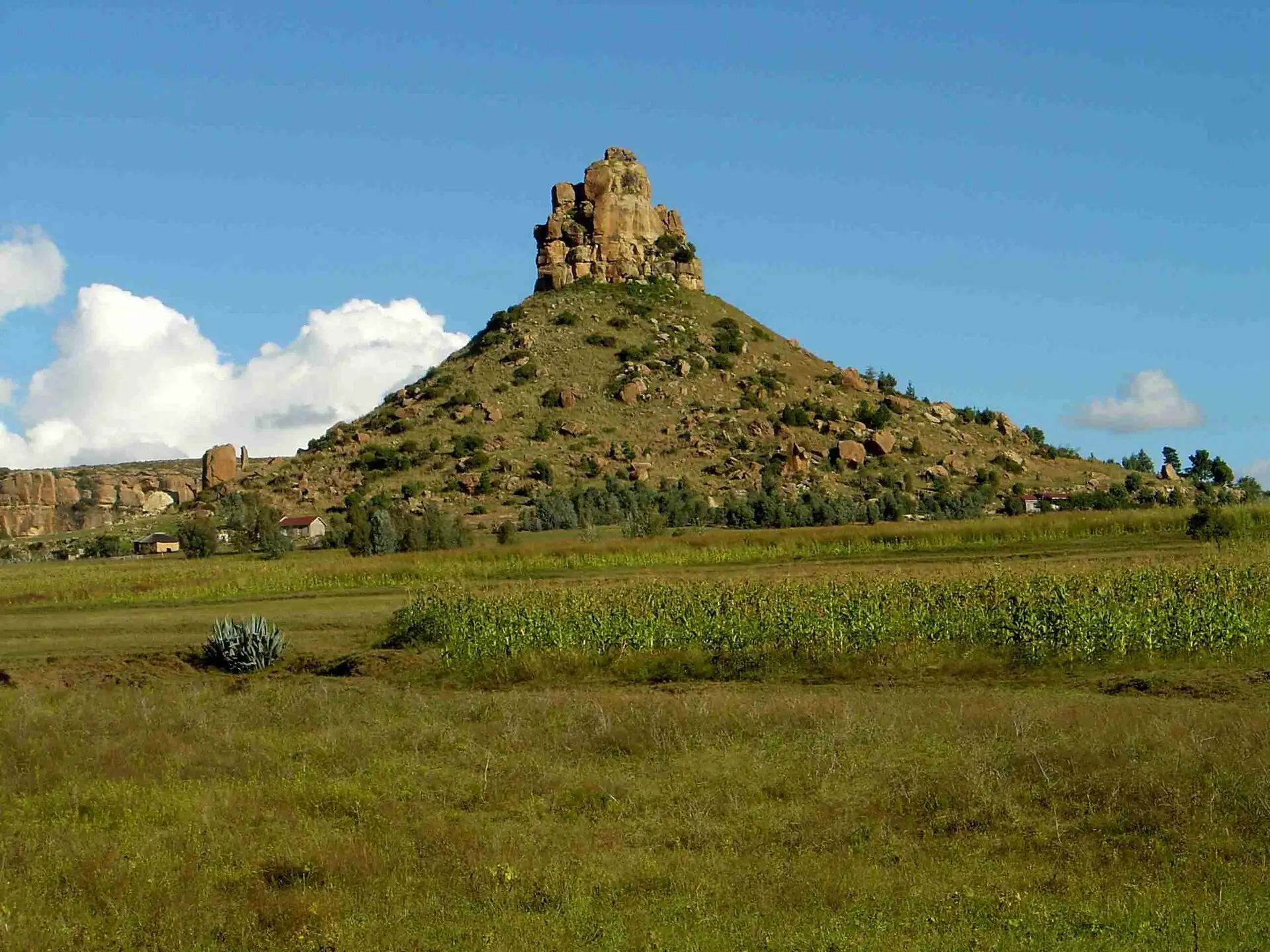
Thaba Bosiu
Half-day trip by car: the hilltop stronghold of King Moshoeshoe I, climbed with a local guide; be back in Maseru before dusk.
Key facts
- 28″ bags
- forbidden
- Time budget
- half
- Rescue coverage
- 100% ≤7′
- max p90 5′
- Places
- 2
Rules in force · 10Nine African countries on this site have no trip line bec…Across the subregion, plan every road leg to arrive befor…Plan every drive out of Maseru to finish before dusk
- Africa ↗When a route touches a yellow-fever country — even a transit of 12 hours or more — keep the original yellow card (ICVP) in your hand luggage; health desks and airlines can refuse boarding or entry without it.
- Africa ↗Nine African countries on this site have no trip line because governments advise against travel; several others have no-go regions. Read your government's advice for every country on the route before paying deposits.
- Southern Africa ↗A rental car may leave its home country only with the rental company's cross-border letter, the registration papers and paid road taxes at each post; driving into Zambia, Zimbabwe, Mozambique or Angola without them ends at the border.
- Southern Africa ↗Across the subregion, plan every road leg to arrive before sunset: livestock, wildlife, pedestrians and unlit trucks make night driving the main cause of serious visitor accidents.
- Lesotho ↗Check visa and entry rules for your passport on official Lesotho government sources; you also need South African entry to reach it by road.
- Lesotho ↗Taking a South African rental car into Lesotho needs a cross-border letter from the rental company; Sani Pass needs a 4x4.
- Lesotho ↗Border posts have fixed opening hours; smaller posts close earlier than the main Maseru bridge.
- Maseru and the Lowlands ↗Check the opening hours of the border post you plan to use; smaller posts close earlier than Maseru Bridge.
- Maseru ↗Plan every drive out of Maseru to finish before dusk: livestock and people use the mountain roads and street lighting is thin.
- Maseru ↗Border posts have fixed opening hours and the smaller posts close earlier than Maseru Bridge: check the post you plan to use before you set out.
More
Map to the centre
Add your hotel to get directions from it. · stays in this browser; shared with the pocket card.
Walking weather, next 5 days
Loading forecast…
Forecast: Open-Meteo (CC BY 4.0), model data for this point.
Plan
How the ground walks, and what is here
Bound and physics
The foot of the hill, the visitor area and the tomb path.
- Slope
- steep
- Stairs
- Uneven rock steps
- Shade
- low
- Surface
- rock path
- Sleep here or visit
- visit
On the ground
Where to rest, how to leave, where to sleep nearby
Rescue anchors
A rescue anchor is a spot where you can stop and recover if the walk goes wrong: a bench, a café, a toilet. Every letter on the map is one anchor, and each has a card below. We check that any point in the cluster is within about 7 minutes’ walk of one, so you are never far from somewhere to sit down.
Lettered circles: rescue anchors (green works in any conditions, amber only on hot days). Dashed outline: the cluster. Red dots: spots more than 7 min from any anchor. Drag to move; click the map, then scroll to zoom.
Thaba Bosiu, foot of the hill (field-verify)
Place to sit · Toilet · works in any conditions
north-west block: shop or café row with seating
Place to sit · works in any conditions
north block: shop or café row with seating
Food & drink · Place to sit · works in any conditions
north-east block: shop or café row with seating
ac · Food & drink · Place to sit · works in any conditions
west block: shop or café row with seating
Place to sit · works in any conditions
east block: shop or café row with seating
Food & drink · ac · works in any conditions
south-west block: shop or café row with seating
Place to sit · Food & drink · works in any conditions
south block: shop or café row with seating
Place to sit · works in any conditions
south-east block: shop or café row with seating
Food & drink · Place to sit · works in any conditions
100% of the cluster is within 7 min of an anchor in any conditions (slowest walker, worst cell 5 min) · 100% on hot days
Nodes in this cluster
- The hilltop fortress of King Moshoeshoe I, about 30 km (19 mi) east of Maseru: a guided climb of two to three hours plus the ride; go in the morning and be back before dusk.The hilltop fortress of King Moshoeshoe I, about 19 mi (30 km) east of Maseru: a guided climb of two to three hours plus the ride; go in the morning and be back before dusk.
- A small museum of Basotho history, mission life and early printing about 45–60 minutes south of Maseru: go on a weekday morning by car and be back before dusk.
Edges out
| To | How | p50 | Climb |
|---|---|---|---|
| Pioneer Road and the Basotho Hat | Car west | ~50 min | flat |
Red lines here
- Use a local guide; the hill is a sacred and royal site.
Deep dive
Around this cluster
Straight-line distance; walk time adds 30% for streets.
- PlaceThaba Bosiu10 m · 1 min walk
- ClusterOur Lady of Victories Cathedral17 km · ride, not a walk
- PlaceOur Lady of Victories Cathedral18 km · ride, not a walk
- ClusterKingsway18 km · ride, not a walk
- EatFat cakes and hot snacks on Kingsway19 km · ride, not a walk
- PlaceKingsway street stalls and craft market19 km · ride, not a walk