Cluster · Città di San Marino
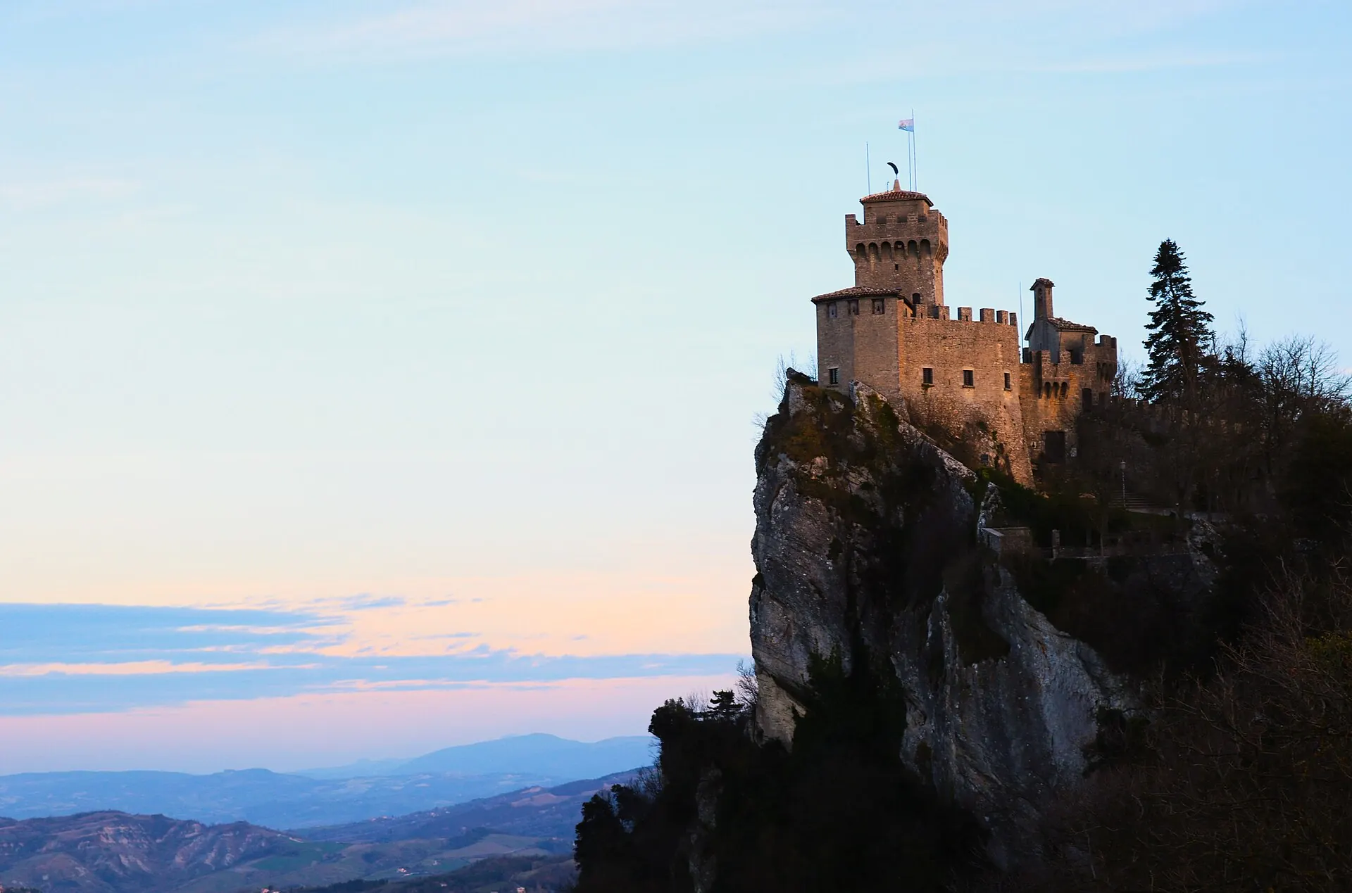
Cesta tower & the upper ridge
Late-morning cluster: the highest tower and its arms museum, reached by a steep ridge path; small, exposed and only worth it in clear weather.
Key facts
- 28″ bags
- forbidden
- Time budget
- 90m
- Rescue coverage
- 100% ≤7′
- max p90 5′
- Places
- 1
- 1 sleep area in reach
Rules in force · 9Non-EU visitors get 90 days in any rolling 180-day window…The old town is steep, stepped and pedestrian
- Europe ↗Non-EU visitors get 90 days in any rolling 180-day window, counted across all 29 Schengen states together — not per country; the Entry/Exit System now logs each crossing, so an overstay is detected automatically.
- Europe ↗On the first Schengen entry since EES began, non-EU travellers give four fingerprints and a face photo at the border instead of a passport stamp; there is nothing to apply for or pay in advance.
- Italy and Malta ↗The region's headline sights run on timed tickets that sell out: book the Vatican Museums, the Colosseum, the Uffizi, the Last Supper and Malta's Hypogeum before you fix train and hotel dates.
- Italy and Malta ↗Budget for per-night city taxes in Italy (up to about €10 a person in Rome), Malta's per-night environmental contribution, and Venice's day-visitor fee on peak days; none are included in most online room prices.
- San Marino ↗San Marino is not in the EU; there are no border checks from Italy, and in practice you must meet Italy's (Schengen) entry rules to reach it. Check the official rules for your passport.
- San Marino ↗There is no entry stamp, but the tourist office can put an optional souvenir stamp in your passport.
- San Marino ↗San Marino is outside the EU's roaming area for some mobile plans; check before using data on the ridge, where Italian and Sammarinese networks overlap.
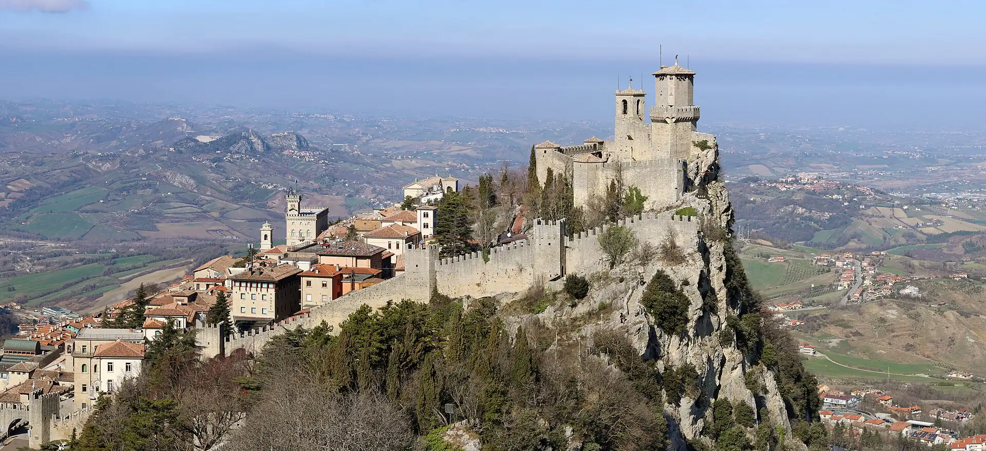
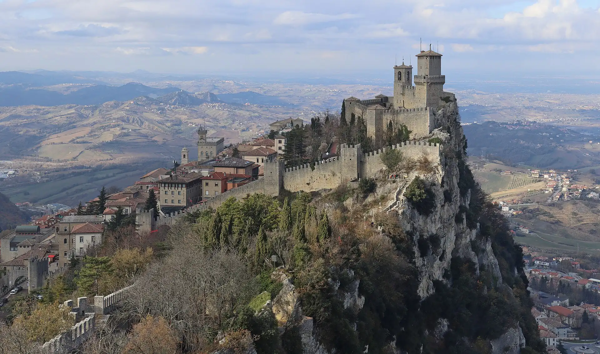
- Città di San Marino ↗The old town is steep, stepped and pedestrian: large suitcases go from the car park or the drop-off to the door, never on a walk.
- Città di San Marino ↗There is no airport or station in San Marino: check the last bus from Rimini before you travel, or book a transfer.
More
Map to the centre
Add your hotel to get directions from it. · stays in this browser; shared with the pocket card.
Walking weather, next 5 days
Loading forecast…
Forecast: Open-Meteo (CC BY 4.0), model data for this point.
Plan
How the ground walks, and what is here
Bound and physics
The second tower (Cesta) and the ridge path to the south.
- Slope
- steep
- Stairs
- Steps and rough path
- Shade
- low
- Surface
- stone and gravel
- Sleep here or visit
- visit
On the ground
Where to rest, how to leave, where to sleep nearby
Rescue anchors
A rescue anchor is a spot where you can stop and recover if the walk goes wrong: a bench, a café, a toilet. Every letter on the map is one anchor, and each has a card below. We check that any point in the cluster is within about 7 minutes’ walk of one, so you are never far from somewhere to sit down.
Lettered circles: rescue anchors (green works in any conditions, amber only on hot days). Dashed outline: the cluster. Red dots: spots more than 7 min from any anchor. Drag to move; click the map, then scroll to zoom.
Cesta tower gate
Place to sit · Shelter from rain · works in any conditions
Passo delle Streghe south end
Place to sit · works in any conditions
Ridge path east
Place to sit · works in any conditions
Arms museum entrance area
Shelter from rain · Toilet · works in any conditions
Ridge path south
Place to sit · works in any conditions
100% of the cluster is within 7 min of an anchor in any conditions (slowest walker, worst cell 5 min) · 100% on hot days
Nodes in this cluster
- The highest tower, with an arms museum inside: 30–40 minutes for the view, reached by a 10-minute climb from Guaita on a rough path.
Edges out
| To | How | p50 | Climb |
|---|---|---|---|
| Guaita tower & the ridge path | Walk north-west along the ridge | ~12 min | flat |
Sleep within reach
- Old town (Città) — 20–28 min
Red lines here
- Fog and wind can close the path: check before you climb.
Deep dive
Around this cluster
Straight-line distance; walk time adds 30% for streets.