Cluster · Auckland
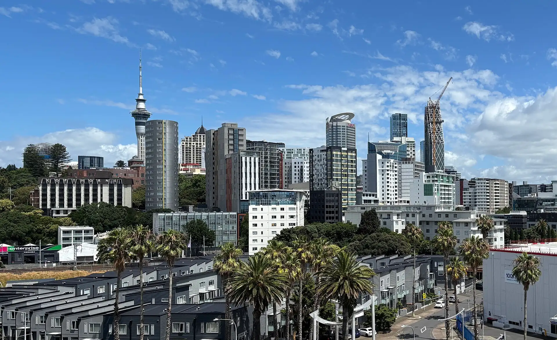
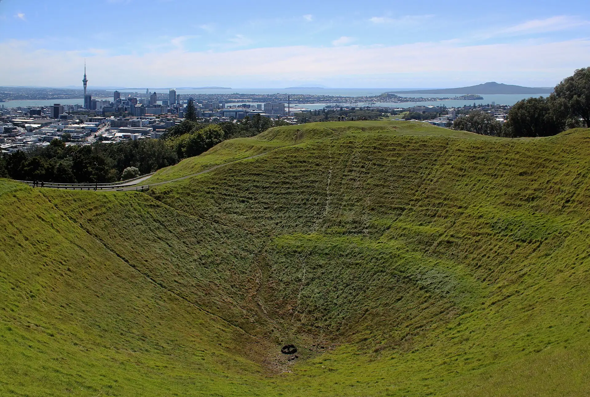
Central Auckland: Sky Tower and Queen Street
City-centre cluster: Sky Tower, Aotea Square, the art gallery and Queen Street; hilly but short, and easy in the rain because most stops are indoors.
Key facts
- 28″ bags
- painful
- Time budget
- 90m
- Rescue coverage
- 100% ≤7′
- max p90 5.1′
- Places
- 2
- 2 sleep areas in reach
Rules in force · 10
- Oceania ↗Oceania's island states guard their farms and reefs at the border: tick 'yes' on the arrival card for any food, plant, animal product, soil or used outdoor gear, and let the officer decide.
- Oceania ↗Across the tropical South Pacific, cyclones are possible from November to April: choose insurance that covers weather delays and keep one spare night before a long-haul departure.
- Australia and New Zealand ↗Both countries drive on the left, with long distances between fuel stops in the outback and on New Zealand's back roads; fatigue causes more visitor crashes than speed.
- New Zealand ↗Visa-waiver visitors need an NZeTA (with the tourism levy) before travel, including many transit passengers; others need a visa. Apply only through Immigration New Zealand or its official app, and check the rules for your passport.
- New Zealand ↗Declare all food, plant and animal products, and used outdoor gear such as hiking boots and tents, on the New Zealand Traveller Declaration; undeclared risk items bring instant fines.
- New Zealand ↗Drive on the left; give way as signed at one-lane bridges; an English-language licence or one with an approved translation or International Driving Permit is required.
- New Zealand ↗Freedom camping is restricted: sleep in a vehicle only where signed as allowed, and in many places only in certified self-contained vehicles.
- Upper North Island ↗Collect the hire car on the day you leave Auckland: CBD parking is expensive and the first day after a long flight is the wrong time to drive on the left.
- Auckland ↗Declare all food, plant, animal products and used outdoor gear on the New Zealand Traveller Declaration; undeclared items bring instant fines.
- Auckland ↗Collect the hire car on the day you leave the city: CBD parking is expensive and jet lag and left-side driving make the first day the wrong time to start.
More
Map to the centre
Add your hotel to get directions from it. · stays in this browser; shared with the pocket card.
Walking weather, next 5 days
Loading forecast…
Forecast: Open-Meteo (CC BY 4.0), model data for this point.
Plan
How the ground walks, and what is here
Bound and physics
Sky Tower and Aotea Square, upper Queen Street, Albert Park's edge and the Auckland Art Gallery. The box is a desk estimate of the walking area; anchors are field-verify.
- Slope
- gentle hills
- Stairs
- Few; steep streets towards Albert Park
- Shade
- medium
- Surface
- paved streets
- Sleep here or visit
- both
Eat and drink here
A CBD share-plates restaurant on Federal Street from a well-known New Zealand chef: oysters, small plates and a raw bar. Good for an easy CBD dinner near the Sky Tower without a long walk.
On the ground
Where to rest, how to leave, where to sleep nearby
Rescue anchors
A rescue anchor is a spot where you can stop and recover if the walk goes wrong: a bench, a café, a toilet. Every letter on the map is one anchor, and each has a card below. We check that any point in the cluster is within about 7 minutes’ walk of one, so you are never far from somewhere to sit down.
Lettered circles: rescue anchors (green works in any conditions, amber only on hot days). Dashed outline: the cluster. Red dots: spots more than 7 min from any anchor. Drag to move; click the map, then scroll to zoom.
Aotea Square benches
Place to sit · works in any conditions
Sky City food court (AC, WC)
ac · Food & drink · Toilet · Place to sit · works in any conditions
Art Gallery courtyard café
Food & drink · Place to sit · Toilet · works in any conditions
Upper Queen Street café
Food & drink · Place to sit · works in any conditions
Albert Park bandstand shade
Place to sit · Shelter from rain · works in any conditions
Library or shopping arcade (AC, field-verify)
ac · Toilet · Place to sit · works in any conditions
100% of the cluster is within 7 min of an anchor in any conditions (slowest walker, worst cell 5.1 min) · 100% on hot days
Nodes in this cluster
- Go up on a clear day at opening or in the late afternoon; check the visibility before you buy, and skip it under low cloud.
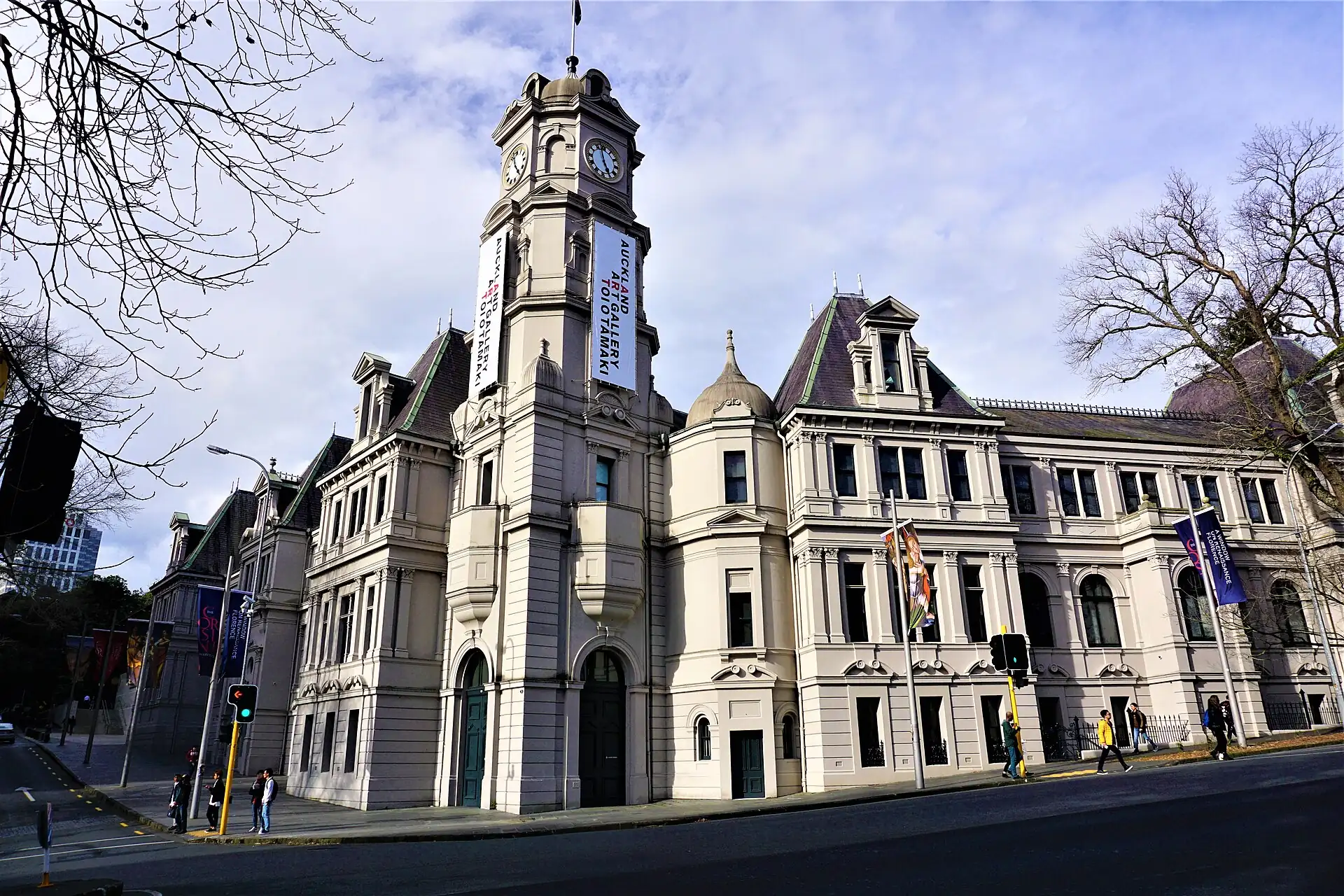
Auckland Art Gallery Toi o Tāmaki
A dry-weather-independent stop: the permanent collections are free to enter; allow an hour, and use it as your rain plan for the CBD.
Edges out
| To | How | p50 | Climb |
|---|---|---|---|
| Britomart and the Ferry Building | Walk down Queen Street | ~12 min | flat |
| Viaduct Harbour and Wynyard Quarter | Walk north-west | ~15 min | flat |
| Ponsonby Road | Car or bus west | ~12 min | flat |
Sleep within reach
- Central Auckland (CBD) — 3–6 min
- Ponsonby — 40–55 min
Red lines here
- Wet-weather footpaths are slippery: watch the steep streets.
- Keep valuables out of parked cars: theft from cars is common.
Deep dive
Around this cluster
Straight-line distance; walk time adds 30% for streets.
- Sleep areaCentral Auckland (CBD)70 m · 1 min walk
- ClusterBritomart and the Ferry Buildingnearest point: Takutai Square seating400 m · 6 min walk
- ClusterViaduct Harbour and Wynyard Quarternearest point: Silo Park lawn720 m · 12 min walk
- ClusterPonsonby Road1.6 km · 26 min walk
- Sleep areaPonsonby1.8 km · 30 min walk