Cluster · Cape Town
V&A Waterfront
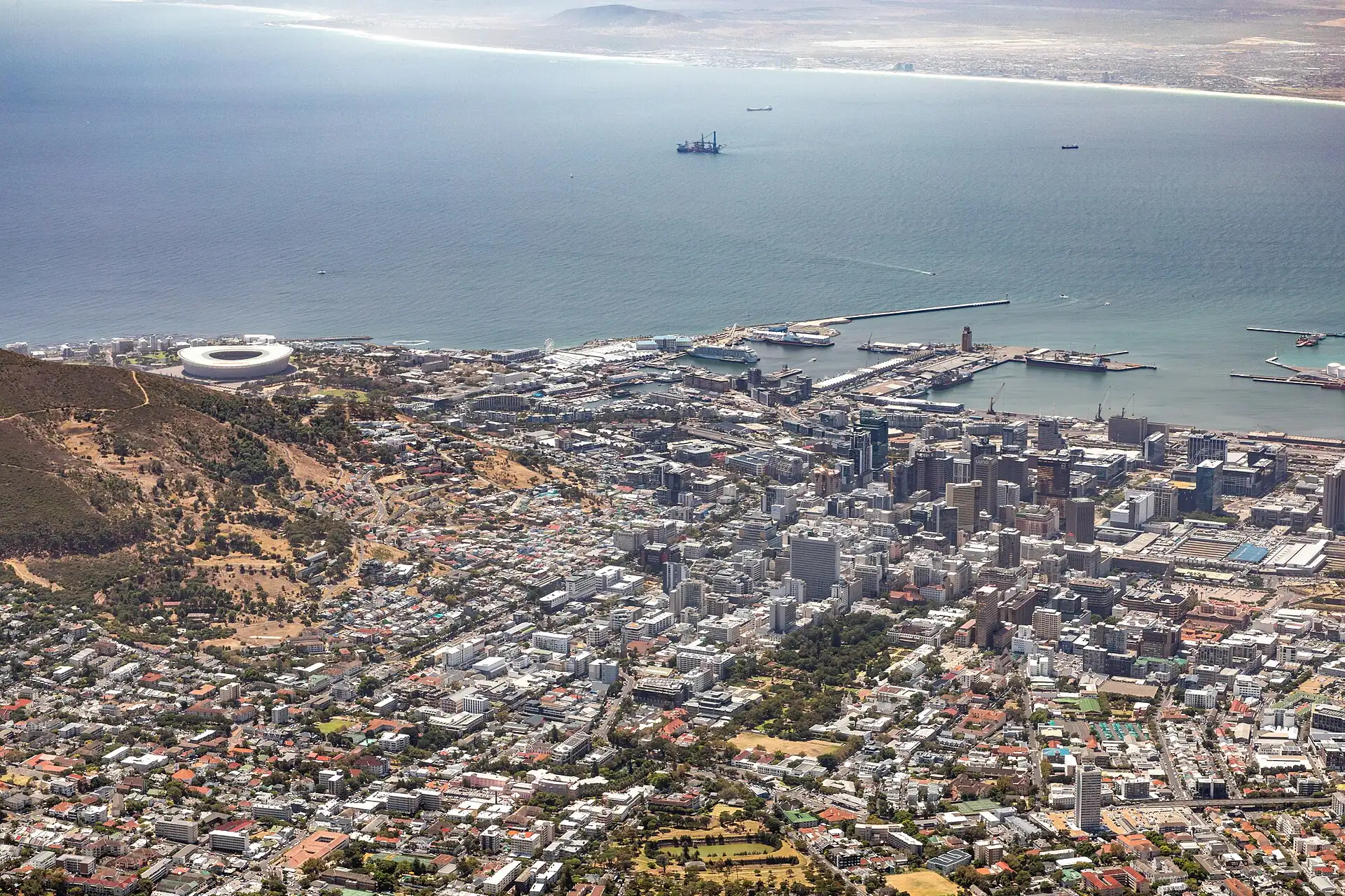
Afternoon cluster: shops, the food market, the art museum and the Robben Island ferry on flat, secure ground; the easiest area with bags and in bad weather.
Key facts
- 28″ bags
- ok
- Time budget
- half
- Rescue coverage
- 100% ≤7′
- max p90 4.6′
- Places
- 2
- 2 sleep areas in reach
Rules in force · 10Nine African countries on this site have no trip line bec…Across the subregion, plan every road leg to arrive befor…After dark, use ride-hailing or a hotel car between areas
- Africa ↗When a route touches a yellow-fever country — even a transit of 12 hours or more — keep the original yellow card (ICVP) in your hand luggage; health desks and airlines can refuse boarding or entry without it.
- Africa ↗Nine African countries on this site have no trip line because governments advise against travel; several others have no-go regions. Read your government's advice for every country on the route before paying deposits.
- Southern Africa ↗A rental car may leave its home country only with the rental company's cross-border letter, the registration papers and paid road taxes at each post; driving into Zambia, Zimbabwe, Mozambique or Angola without them ends at the border.
- Southern Africa ↗Across the subregion, plan every road leg to arrive before sunset: livestock, wildlife, pedestrians and unlit trucks make night driving the main cause of serious visitor accidents.
- South Africa ↗Check visa and entry rules for your passport with the Department of Home Affairs or a South African mission before booking; exemptions depend on nationality, and the new Electronic Travel Authorisation (ETA) is optional for most visa-exempt visitors in 2026.
- South Africa ↗Travelling with children: accompanied foreign children no longer need a birth certificate, but unaccompanied minors, South African children and some passports that omit parents' names still do; check with Home Affairs and your airline before you fly.
- South Africa ↗Driving is on the left. If your licence is not in English or has no photo, get an International Driving Permit before you travel; rental companies also check it.
- South Africa ↗National park gates open and close at fixed times; you must be inside your camp before the gate closes, and speed limits in parks are enforced.
- Cape Town ↗After dark, use ride-hailing or a hotel car between areas; do not walk between the City Bowl, Bo-Kaap and the Waterfront.
- Cape Town ↗The Table Mountain cableway stops in strong wind: keep a spare morning and check the operator's status page before you go.
More
Map to the centre
Add your hotel to get directions from it. · stays in this browser; shared with the pocket card.
Walking weather, next 5 days
Loading forecast…
Forecast: Open-Meteo (CC BY 4.0), model data for this point.
Plan
How the ground walks, and what is here
Bound and physics
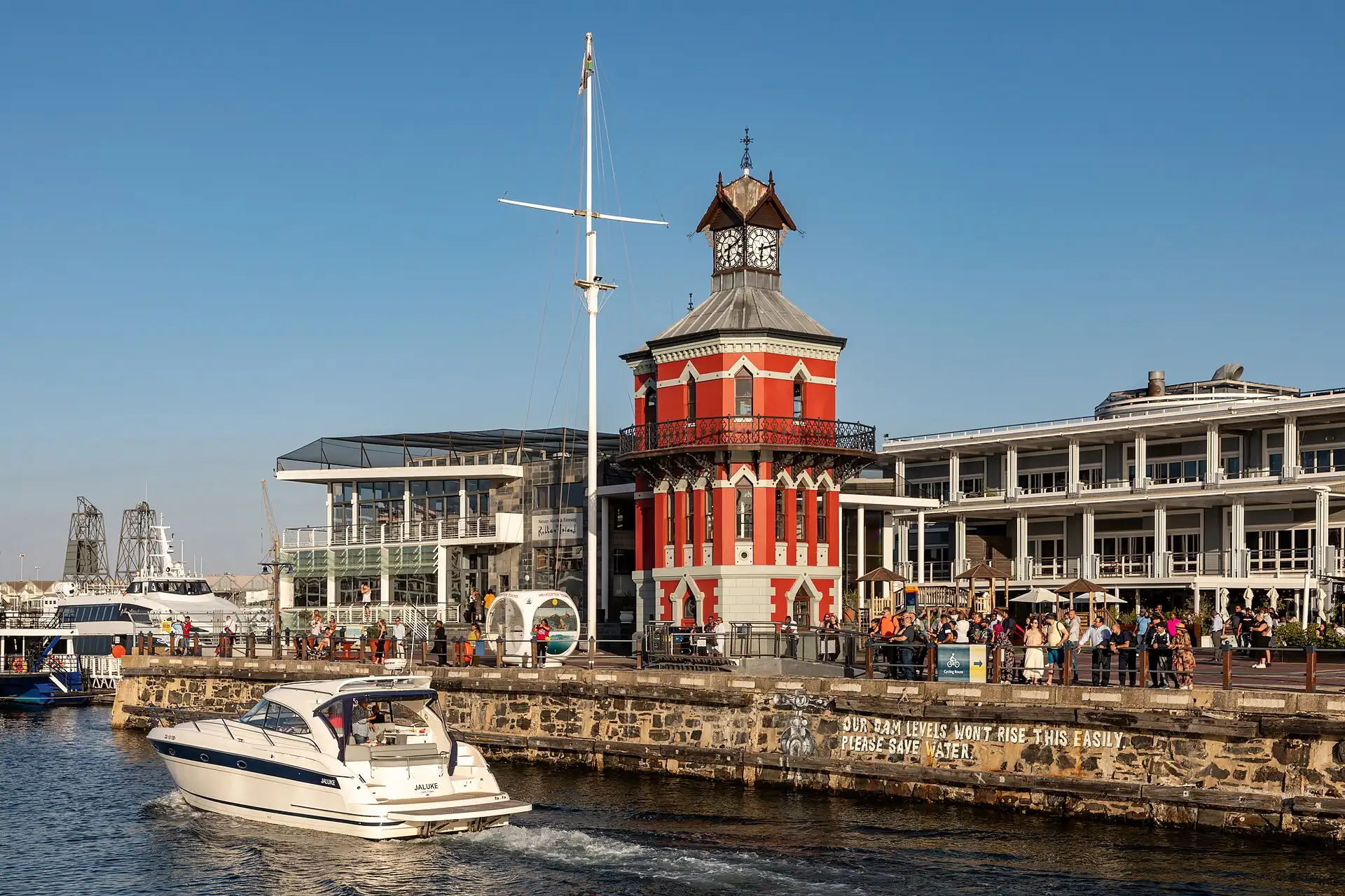
The harbour district from the Clock Tower to Zeitz MOCAA.
- Slope
- flat
- Stairs
- None
- Shade
- medium
- Surface
- paved promenades
- Sleep here or visit
- both
Eat and drink here
A sit-down seafood restaurant on the harbour at the V&A Waterfront: go for a table over the water and a fish or seafood platter, book ahead for a sunset seating.
A Saturday-morning producers' market at the Waterfront's Granger Bay green: go early for breakfast stalls, coffee and local produce before it gets busy.
An indoor food hall at the Waterfront with many stalls: a sheltered lunch for a wet or windy day; go before noon to skip the queues.
On the ground
Where to rest, how to leave, where to sleep nearby
Rescue anchors
A rescue anchor is a spot where you can stop and recover if the walk goes wrong: a bench, a café, a toilet. Every letter on the map is one anchor, and each has a card below. We check that any point in the cluster is within about 7 minutes’ walk of one, so you are never far from somewhere to sit down.
Lettered circles: rescue anchors (green works in any conditions, amber only on hot days). Dashed outline: the cluster. Red dots: spots more than 7 min from any anchor. Drag to move; click the map, then scroll to zoom.
Clock Tower area (WC, cafés)
Toilet · Food & drink · Place to sit · ac · works in any conditions
Small café or shop, north-west side
Place to sit · Food & drink · works in any conditions
Shaded seating, north side
Place to sit · Shelter from rain · works in any conditions
Food stall or café, north-east side
Food & drink · Place to sit · works in any conditions
Shaded seating, west side
Place to sit · Shelter from rain · works in any conditions
Café or shop, east side
Food & drink · Place to sit · works in any conditions
Small café or shop, south-west side
Place to sit · Food & drink · works in any conditions
Shaded seating, south side
Place to sit · Shelter from rain · works in any conditions
Food stall or café, south-east side
Food & drink · Place to sit · works in any conditions
100% of the cluster is within 7 min of an anchor in any conditions (slowest walker, worst cell 4.6 min) · 100% on hot days
Nodes in this cluster
- A large contemporary African art museum in a converted grain silo: about two hours, with a good rain plan at the Waterfront.
- The ferry and guided tour of the island where Nelson Mandela was held: allow half a day, book ahead, and keep a spare day in case the sea is too rough for the ferry.
Edges out
| To | How | p50 | Climb |
|---|---|---|---|
| City Bowl: Company's Garden and museums | Car south | ~12 min | flat |
Sleep within reach
- City Bowl and Gardens — 20–35 min
- V&A Waterfront — 3–6 min
Red lines here
- Keep an eye on bags in the food halls.
Deep dive
Around this cluster
Straight-line distance; walk time adds 30% for streets.