Cluster · Dakar
Ngor and the Almadies
Evening cluster: the coast at the north-west tip; restaurants and beach bars; a car from the Plateau.
Key facts
- 28″ bags
- painful
- Time budget
- 90m
- Rescue coverage
- 100% ≤7′
- max p90 6.4′
- Places
- 3
- 1 sleep area in reach
Rules in force · 11Nine African countries on this site have no trip line bec…Carry an original yellow fever vaccination certificate on…Broken pavements and heavy traffic
- Africa ↗When a route touches a yellow-fever country — even a transit of 12 hours or more — keep the original yellow card (ICVP) in your hand luggage; health desks and airlines can refuse boarding or entry without it.
- Africa ↗Nine African countries on this site have no trip line because governments advise against travel; several others have no-go regions. Read your government's advice for every country on the route before paying deposits.
- West Africa ↗Carry an original yellow fever vaccination certificate on any West African trip: several countries on the coast road demand it of every arrival, and the rest demand it after you have passed through a neighbour.
- West Africa ↗Cross land borders and drive between cities in daylight only; plan each crossing as a full travel day with cash for fees and passport copies for checkpoints.
- Senegal ↗Check visa and entry rules for your passport on official Senegalese government sources before booking.
- Senegal ↗Dress modestly in towns and at religious sites: shoulders and knees covered.
- Senegal ↗Check your government's advice before travelling to parts of the Casamance region in the south.
- Dakar and Cap-Vert ↗Traffic is heavy at rush hours; build a buffer for every road leg and the airport.
- Dakar ↗Broken pavements and heavy traffic: large suitcases go from the car to the door, never on a walk.
- Dakar ↗Blaise Diagne airport is about 45 km from central Dakar: pre-book the ride, agree the fare first, and decline drivers who approach you inside the hall.
- Dakar ↗Dress modestly in the city and at religious sites: shoulders and knees covered; beachwear stays on the beach.
More
Map to the centre
Add your hotel to get directions from it. · stays in this browser; shared with the pocket card.
Walking weather, next 5 days
Loading forecast…
Forecast: Open-Meteo (CC BY 4.0), model data for this point.
Plan
How the ground walks, and what is here
Bound and physics
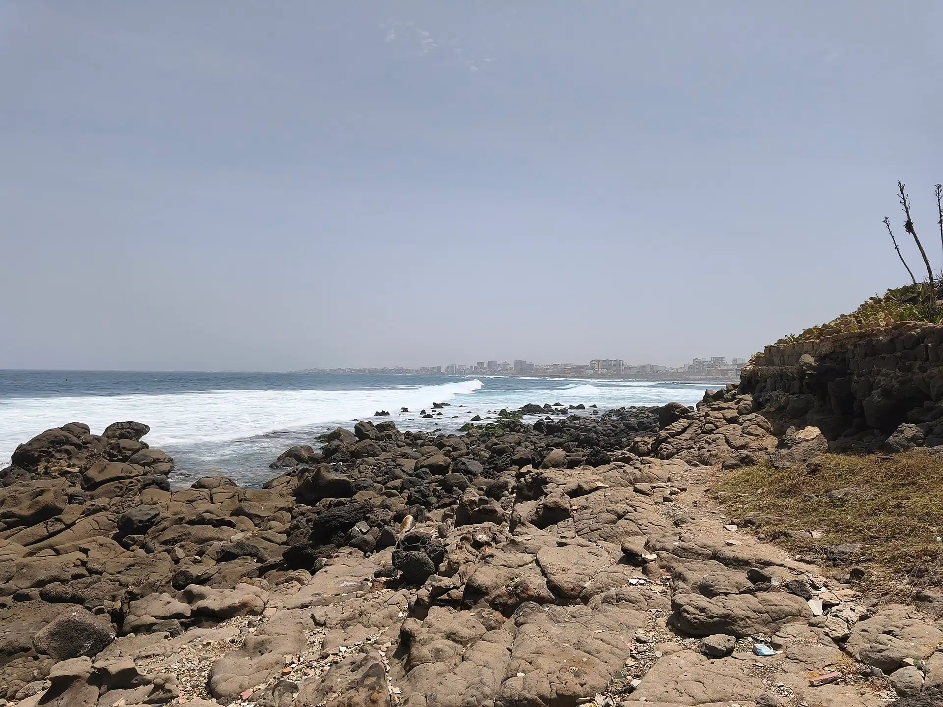
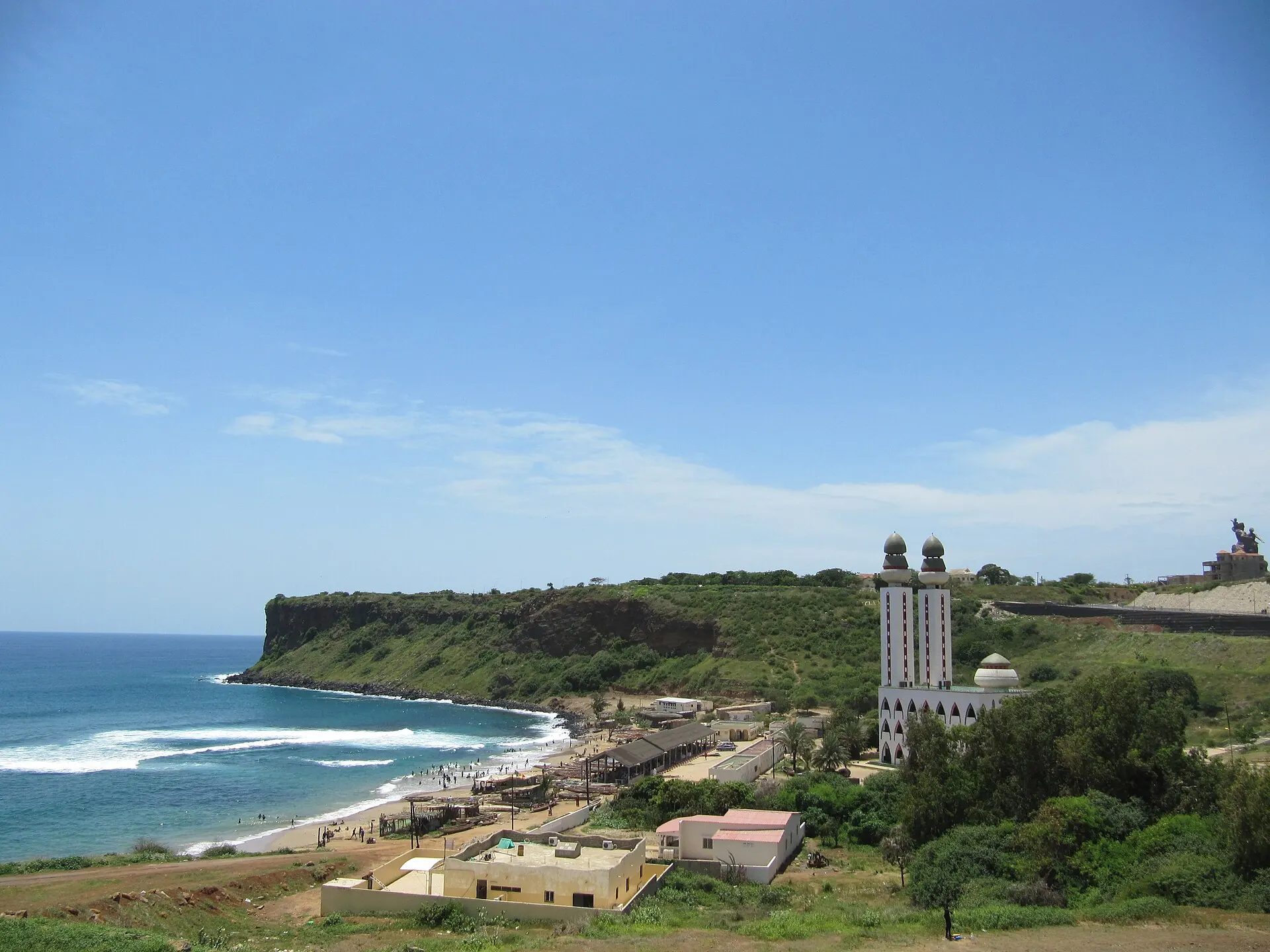
Ngor village and the beach road toward the Almadies.
- Slope
- flat
- Stairs
- Few
- Shade
- low
- Surface
- sand and paved roads
- Sleep here or visit
- both
Eat and drink here
Grilled fish, prawns and lobster on a sand-floor terrace facing Ngor island: the Almadies lunch or sunset dinner; book a table for weekend evenings and confirm prices first.
On the ground
Where to rest, how to leave, where to sleep nearby
Rescue anchors
A rescue anchor is a spot where you can stop and recover if the walk goes wrong: a bench, a café, a toilet. Every letter on the map is one anchor, and each has a card below. We check that any point in the cluster is within about 7 minutes’ walk of one, so you are never far from somewhere to sit down.
Lettered circles: rescue anchors (green works in any conditions, amber only on hot days). Dashed outline: the cluster. Red dots: spots more than 7 min from any anchor. Drag to move; click the map, then scroll to zoom.
Beach-road café
Place to sit · Food & drink · works in any conditions
Ferry-landing shade to Ngor island
Shelter from rain · Place to sit · works in any conditions
Restaurant terrace with toilets
Place to sit · Food & drink · Toilet · works in any conditions
Supermarket (AC, field-verify)
ac · Food & drink · works in any conditions
Hotel lobby (AC, field-verify)
ac · Place to sit · Toilet · works in any conditions
100% of the cluster is within 7 min of an anchor in any conditions (slowest walker, worst cell 6.4 min) · 100% on hot days
Nodes in this cluster
- A short pirogue ride from Ngor beach to a small car-free island: sand lanes, painted houses, a beach and simple seafood; go for a slow half day, not a rushed hour.
- A 49 m bronze statue on a hill in Ouakam, unveiled in 2010: go for the view and the scale, 45–75 minutes, on the way between the Plateau and Ngor; the walk to the top is hot, so go early or late.
- The westernmost point of mainland Africa: a rocky headland with a sign and a view; skip unless you are already on the Almadies road, and go at sunset if you do.
Edges out
| To | How | p50 | Climb |
|---|---|---|---|
| The Plateau | Car south-east | ~30 min | flat |
Sleep within reach
- Ngor and the Almadies — 3–6 min
Red lines here
- Strong currents: swim only at beaches where lifeguards or locals say it is safe.
Deep dive
Around this cluster
Straight-line distance; walk time adds 30% for streets.