Cluster · Dakhla
Town centre
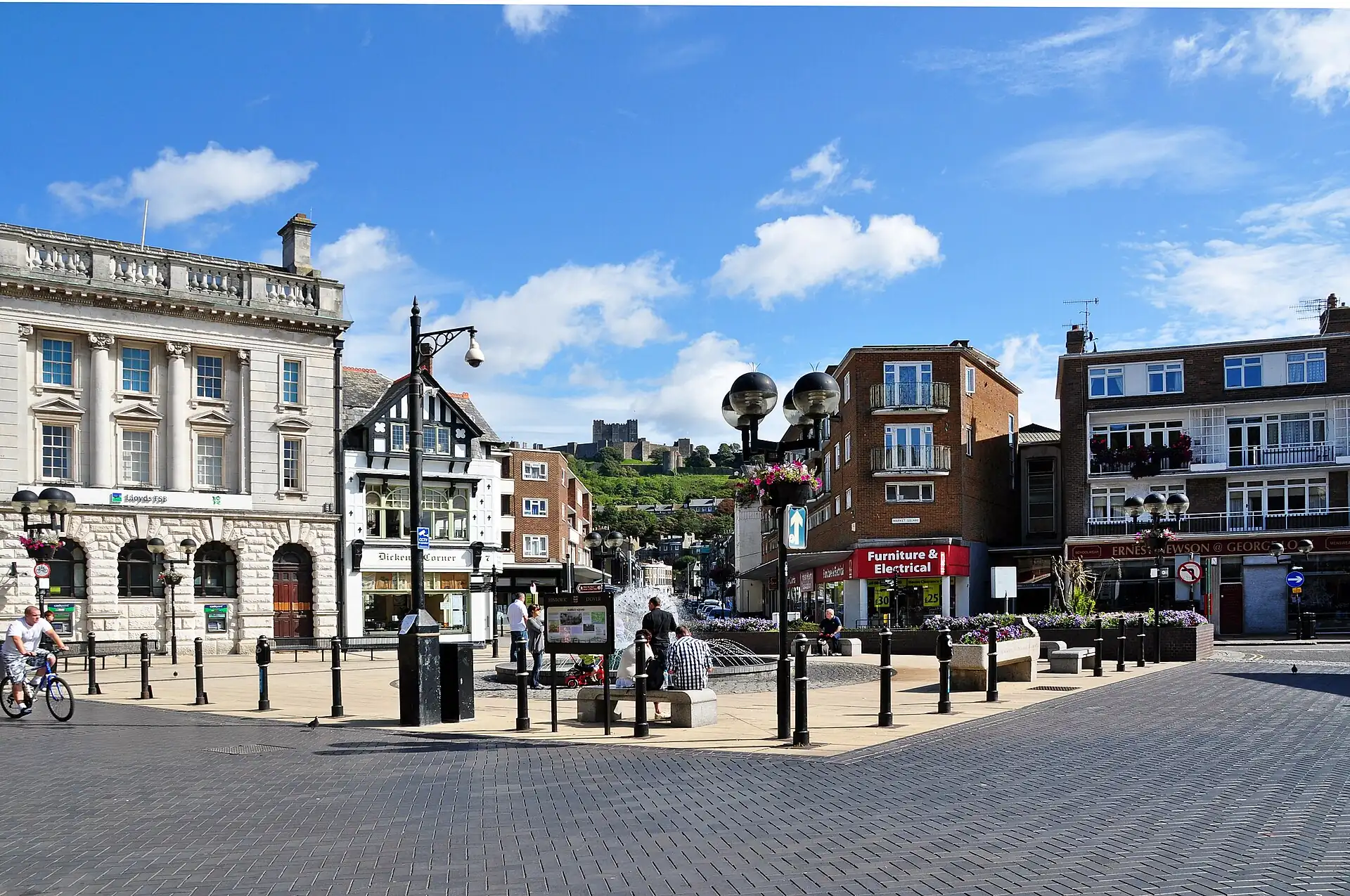
The main streets, banks, cafés and the post office: do errands and lunch here, in the morning before the wind rises.
Key facts
- 28″ bags
- painful
- Time budget
- 90m
- Rescue coverage
- 100% ≤7′
- max p90 6′
- Places
- 4
- 1 sleep area in reach
Rules in force · 10Nine African countries on this site have no trip line bec…Sand on the pavements and no lifts in most shops
- Africa ↗When a route touches a yellow-fever country — even a transit of 12 hours or more — keep the original yellow card (ICVP) in your hand luggage; health desks and airlines can refuse boarding or entry without it.
- Africa ↗Nine African countries on this site have no trip line because governments advise against travel; several others have no-go regions. Read your government's advice for every country on the route before paying deposits.
- North Africa ↗Plan links between North African countries by air or by ferry via Europe; the only regularly usable land borders for visitors are Tunisia–Algeria and Morocco–Mauritania via Western Sahara.
- North Africa ↗Book Saharan nights (dunes, desert camps, oasis tours) between October and April; from May to September desert day temperatures regularly exceed 40 °C and many tours stop.
- Western Sahara ↗In practice, entry is through Morocco and Moroccan entry rules apply; check them for your passport before booking.
- Western Sahara ↗Stay on main roads west of the berm; the area around and east of it contains landmines and unexploded ordnance.
- Western Sahara ↗Expect frequent police checkpoints on the coastal road; carry your passport and copies.
- Dakhla peninsula ↗Book every transfer in advance: taxis to the camps are few and priced by distance.
- Dakhla ↗Sand on the pavements and no lifts in most shops: large bags go from the car to the door, never on a walk.
- Dakhla ↗Stay on paved roads and marked tracks: the interior and the area near the berm contain landmines and unexploded ordnance.
More
Map to the centre
Add your hotel to get directions from it. · stays in this browser; shared with the pocket card.
Walking weather, next 5 days
Loading forecast…
Forecast: Open-Meteo (CC BY 4.0), model data for this point.
Plan
How the ground walks, and what is here
Bound and physics
The central streets, banks and cafés (approximate box).
- Slope
- flat
- Stairs
- Few
- Shade
- low
- Surface
- paved and sandy pavements
- Sleep here or visit
- both
Eat and drink here
Three glasses of strong, sweet Sahrawi tea, and if the place offers it, a simple camel or lamb dish: go in the late afternoon and stay for the second glass.
Lunch or dinner at a lagoon camp: a fixed or short menu, fresh fish and salads, often a bar; book ahead if you are not staying, and confirm the transfer home.
Coffee, mint tea, msemen and a long sit out of the wind: use them for breakfast and a midday break; Ramadan closes most of them in daylight.
Dakhla oysters opened to order beside the lagoon they grew in: go at lunch on a camp or boat day, order half a dozen first, and eat only where they sit on ice.
On the ground
Where to rest, how to leave, where to sleep nearby
Rescue anchors
A rescue anchor is a spot where you can stop and recover if the walk goes wrong: a bench, a café, a toilet. Every letter on the map is one anchor, and each has a card below. We check that any point in the cluster is within about 7 minutes’ walk of one, so you are never far from somewhere to sit down.
Lettered circles: rescue anchors (green works in any conditions, amber only on hot days). Dashed outline: the cluster. Red dots: spots more than 7 min from any anchor. Drag to move; click the map, then scroll to zoom.
Main street café
Place to sit · Food & drink · works in any conditions
Bank ATM lobby
Place to sit · ac · Toilet · works in any conditions
Post office shade
Place to sit · works in any conditions
Small park bench
Place to sit · works in any conditions
Taxi rank shelter
Place to sit · Shelter from rain · works in any conditions
Side-street café
Place to sit · Food & drink · works in any conditions
100% of the cluster is within 7 min of an anchor in any conditions (slowest walker, worst cell 6 min) · 100% on hot days
Nodes in this cluster
- The reason most people come: flat, shallow lagoon water and steady wind. Go by pre-booked transfer or camp shuttle, take a lesson with a school that has a rescue boat, and plan the session for the afternoon breeze.
- A big sand dune that reaches the lagoon: go with a guide by 4x4 or boat, check the tide and the wind the day before, and carry water, sun protection and a hat.
- A half-day boat crossing to a sand island in the lagoon, with birds in season: worth it on a calm morning with a licensed crew and life jackets; skip it in strong wind.
- See where Dakhla's oysters are grown and eat a dozen at the water: a one-to-two-hour stop on the way to a camp, best at low tide and with a guide or camp host who knows which farms take visitors.
Edges out
| To | How | p50 | Climb |
|---|---|---|---|
| Market quarter | Walk or petit taxi | ~12 min | flat |
Sleep within reach
- Town centre — 3–6 min
Red lines here
- Do not photograph police or government buildings.
Deep dive
Around this cluster
Straight-line distance; walk time adds 30% for streets.