Cluster · Hong Kong Island and Kowloon
Victoria Peak
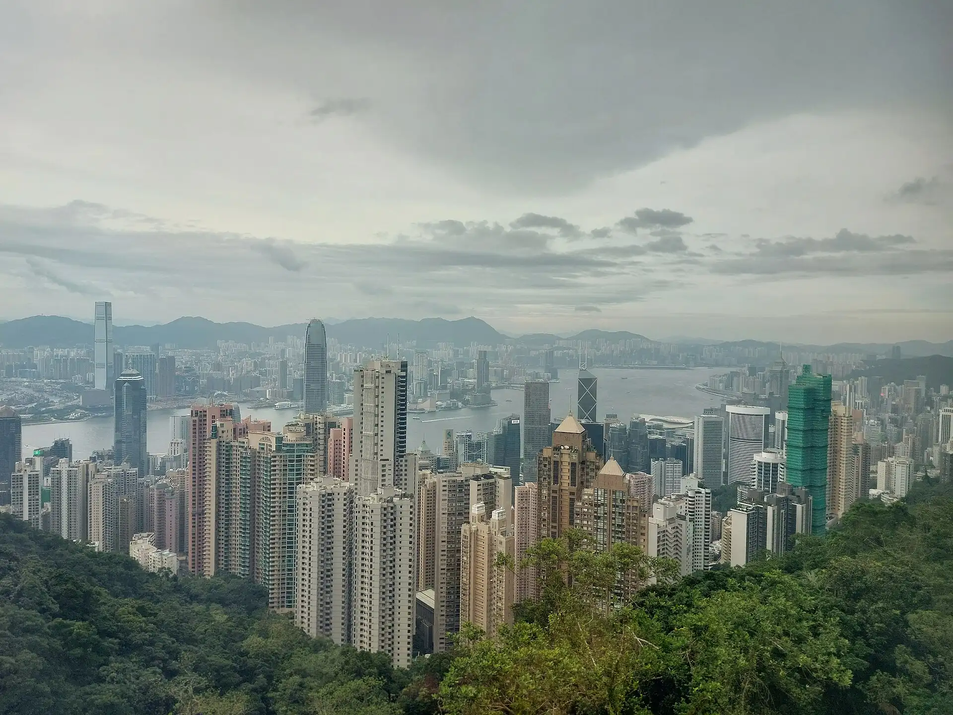
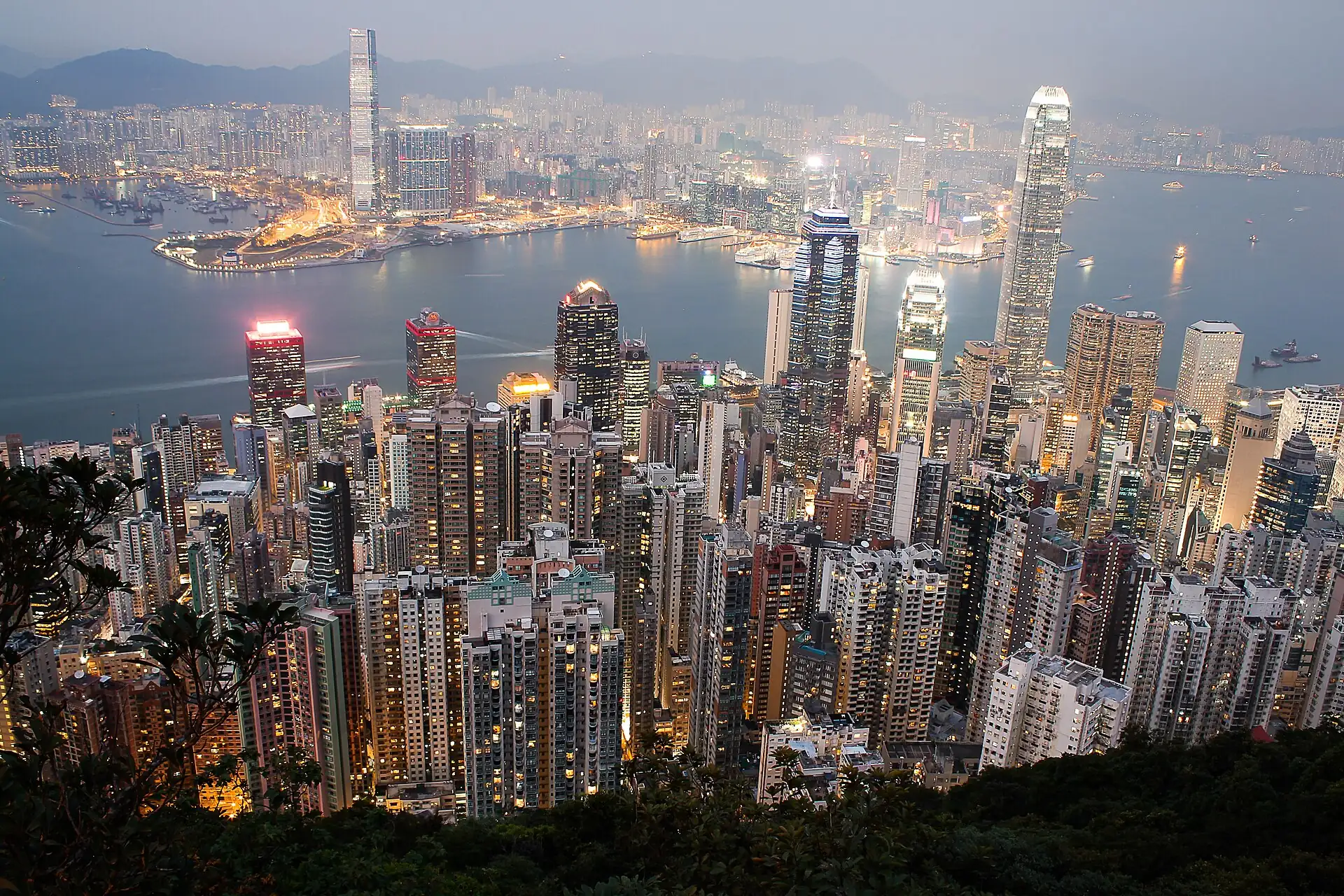
Clear-morning cluster: Peak Tram or taxi up, the Peak Tower viewing area, then the flat Lugard Road walk; skip it when cloud or haze hides the view.
Key facts
- 28″ bags
- forbidden
- Time budget
- half
- Rescue coverage
- 97% ≤7′
- max p90 7′
- Places
- 2
- 1 sleep area in reach
Rules in force · 9Large suitcases on MTR at 07
- East Asia ↗Every border in East Asia is a full international border, Hong Kong and Macau included: an entry permission for one never covers the next.
- East Asia ↗Ferries between Korea, Japan and China cancel in rough seas and typhoons; keep a flight or a spare day behind every sea leg.
- Hong Kong ↗Hong Kong has its own immigration control: entry to Hong Kong does not permit entry to mainland China, and the reverse. Check the Immigration Department list for your passport.
- Hong Kong ↗Buy an Octopus card or use a contactless bank card at MTR gates; single-journey tickets cost the same but queue at machines.
- Hong Kong ↗When Typhoon Signal No. 8 or a Black rainstorm warning is issued, most public transport and many businesses stop: stay where you are and re-plan the next day.
- Hong Kong ↗CBD products are a dangerous drug in Hong Kong since February 2023, and bringing e-cigarettes or heated-tobacco devices into the city is banned: leave both at home.
- Hong Kong SAR ↗Outlying-island ferries run on fixed timetables and are cancelled in typhoon signals: check the return sailing before you go.
- Hong Kong Island and Kowloon ↗Large suitcases on MTR at 07:30–09:30 and 17:30–19:30 are a fight for space and stairs: use the Airport Express racks or a taxi with bags.
- Hong Kong Island and Kowloon ↗Urban taxis are red and cover most of the territory; green and blue taxis serve only their own areas and will not take you across.
More
Map to the centre
Add your hotel to get directions from it. · stays in this browser; shared with the pocket card.
Walking weather, next 5 days
Loading forecast…
Forecast: Open-Meteo (CC BY 4.0), model data for this point.
Plan
How the ground walks, and what is here
Bound and physics
The Peak Tower and the Peak Galleria, with the start of the Lugard Road and Harlech Road walks.
- Slope
- steep
- Stairs
- Few on the roads; many on the tower
- Shade
- medium
- Surface
- paved roads, narrow lanes
- Sleep here or visit
- visit
On the ground
Where to rest, how to leave, where to sleep nearby
Rescue anchors
A rescue anchor is a spot where you can stop and recover if the walk goes wrong: a bench, a café, a toilet. Every letter on the map is one anchor, and each has a card below. We check that any point in the cluster is within about 7 minutes’ walk of one, so you are never far from somewhere to sit down.
Lettered circles: rescue anchors (green works in any conditions, amber only on hot days). Dashed outline: the cluster. Red dots: spots more than 7 min from any anchor. Drag to move; click the map, then scroll to zoom.
Peak Tower (WC, AC, food; field-verify)
ac · Toilet · Food & drink · Place to sit · works in any conditions
Peak Galleria (AC, WC; field-verify)
ac · Toilet · Place to sit · works in any conditions
Rest stop 1
Place to sit · works in any conditions
Rest stop 2
Place to sit · works in any conditions
Rest stop 3
Place to sit · works in any conditions
Rest stop 4
Place to sit · works in any conditions
Rest stop 5
Place to sit · works in any conditions
Rest stop 6
Place to sit · works in any conditions
97% of the cluster is within 7 min of an anchor in any conditions (slowest walker, worst cell 8.1 min) · 97% on hot days
Nodes in this cluster
- Go on a clear morning, not on a fixed day: check the Observatory and the webcams first; the Peak Tram queues long at midday and on weekends, a taxi up is the fallback.
Lugard Road walk (Peak circuit)
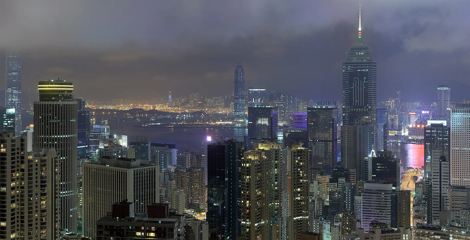
A level, mostly shaded 3.5 km (2.2 mi) path around the Peak with the best skyline views in the city: 45 to 90 minutes on foot, the best crowd bail-out from the Peak Tower, but not after dark and not in poor visibility.A level, mostly shaded 2.2 mi (3.5 km) path around the Peak with the best skyline views in the city: 45 to 90 minutes on foot, the best crowd bail-out from the Peak Tower, but not after dark and not in poor visibility.
Edges out
| To | How | p50 | Climb |
|---|---|---|---|
| Central–Soho & Man Mo | Taxi or Peak Tram down | ~20 min | flat |
Sleep within reach
- Central–Soho (Hong Kong Island) — 60–90 min
Red lines here
- Lugard Road is narrow and unlit after dark: do not walk it at night without a torch.
Deep dive
Around this cluster
Straight-line distance; walk time adds 30% for streets.
- ClusterCentral–Soho & Man Mo770 m · 13 min walk
- PlaceLugard Road walk (Peak circuit)900 m · 15 min walk
- PlaceTai Kwun Centre for Heritage and Arts1.2 km · 20 min walk
- Sleep areaCentral–Soho (Hong Kong Island)1.4 km · 23 min walk
- EatLin Heung Tea House1.4 km · 23 min walk
- EatMak's Noodle1.4 km · 23 min walk