Cluster · Monrovia
Broad Street and the waterfront
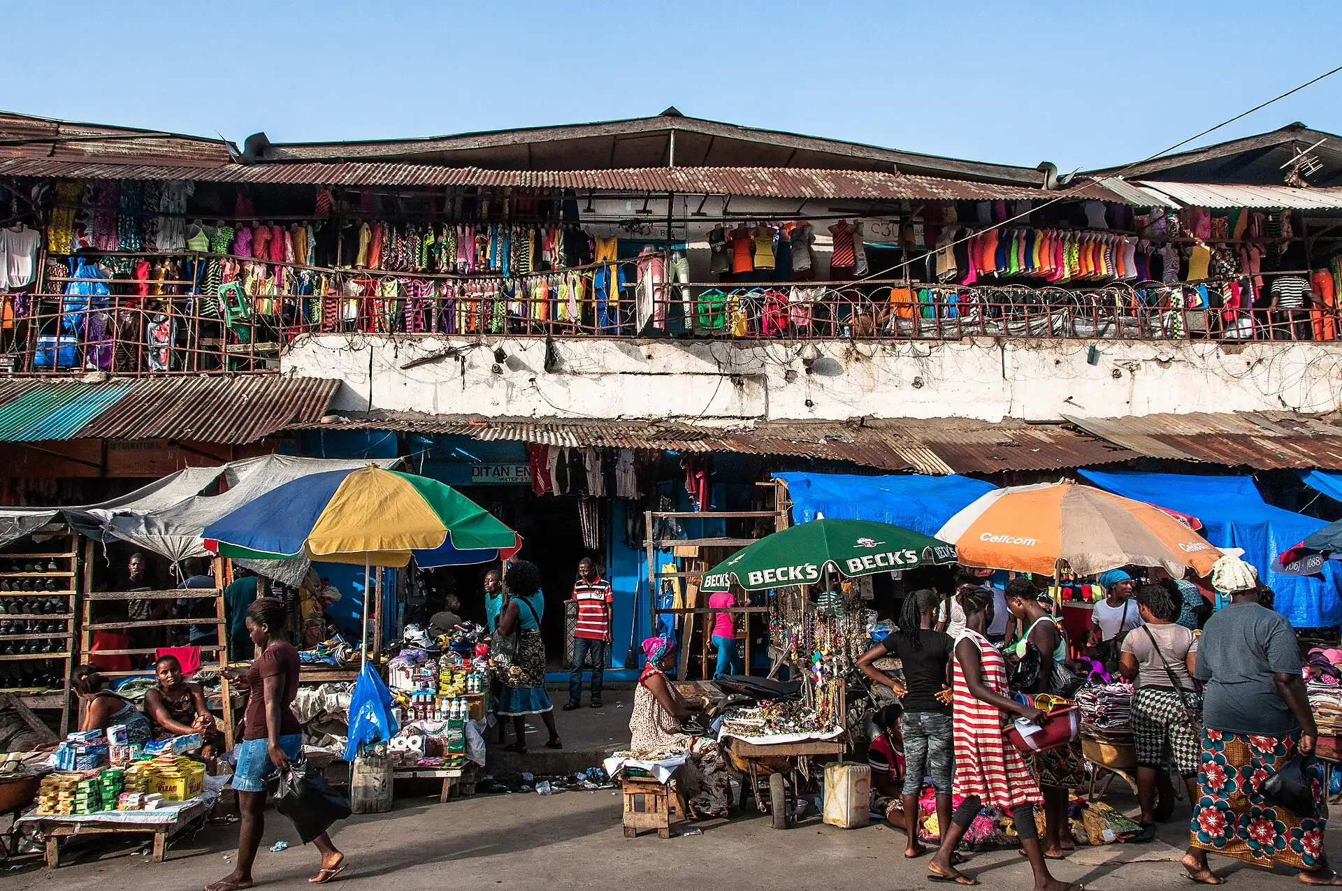
Morning-only cluster: the national museum and Providence Island in the old centre; busy, crowded streets, out before the afternoon.
Key facts
- 28″ bags
- forbidden
- Time budget
- half
- Rescue coverage
- 100% ≤7′
- max p90 5′
- Places
- 5
Rules in force · 9Nine African countries on this site have no trip line bec…Carry an original yellow fever vaccination certificate on…After dark, use a driver arranged by your hotel, door to …
- Africa ↗When a route touches a yellow-fever country — even a transit of 12 hours or more — keep the original yellow card (ICVP) in your hand luggage; health desks and airlines can refuse boarding or entry without it.
- Africa ↗Nine African countries on this site have no trip line because governments advise against travel; several others have no-go regions. Read your government's advice for every country on the route before paying deposits.
- West Africa ↗Carry an original yellow fever vaccination certificate on any West African trip: several countries on the coast road demand it of every arrival, and the rest demand it after you have passed through a neighbour.
- West Africa ↗Cross land borders and drive between cities in daylight only; plan each crossing as a full travel day with cash for fees and passport copies for checkpoints.
- Liberia ↗Check visa and entry rules for your passport on official Liberian government sources; many nationalities need a visa before travel.
- Liberia ↗Check the yellow-fever vaccination certificate rules for Liberia before you fly.
- Monrovia area ↗Plan road trips for the dry season (about November–April); the rainy season is very wet and roads flood.
- Monrovia ↗After dark, use a driver arranged by your hotel, door to door; do not walk between clusters and keep valuables out of sight.
- Monrovia ↗Book an airport pickup against your flight number before you fly; do not count on finding a licensed taxi late at night.
More
Map to the centre
Add your hotel to get directions from it. · stays in this browser; shared with the pocket card.
Walking weather, next 5 days
Loading forecast…
Forecast: Open-Meteo (CC BY 4.0), model data for this point.
Plan
How the ground walks, and what is here
Bound and physics
Broad Street, Buchanan Street and the shore road to Providence Island.
- Slope
- flat
- Stairs
- Few
- Shade
- low
- Surface
- paved, broken pavements
- Sleep here or visit
- visit
Eat and drink here
A quick Lebanese sandwich and falafel counter near downtown: a lunch stop between the museum and Providence Island; eat inside and take the rest away, not down the street.
On the ground
Where to rest, how to leave, where to sleep nearby
Rescue anchors
A rescue anchor is a spot where you can stop and recover if the walk goes wrong: a bench, a café, a toilet. Every letter on the map is one anchor, and each has a card below. We check that any point in the cluster is within about 7 minutes’ walk of one, so you are never far from somewhere to sit down.
Lettered circles: rescue anchors (green works in any conditions, amber only on hot days). Dashed outline: the cluster. Red dots: spots more than 7 min from any anchor. Drag to move; click the map, then scroll to zoom.
Broad Street, National Museum side
Place to sit · Shelter from rain · works in any conditions
north-west block: shop or café row with seating
Place to sit · works in any conditions
north block: shop or café row with seating
Food & drink · Place to sit · works in any conditions
north-east block: shop or café row with seating
ac · Food & drink · Place to sit · works in any conditions
west block: shop or café row with seating
Place to sit · works in any conditions
east block: shop or café row with seating
Food & drink · ac · works in any conditions
south-west block: shop or café row with seating
Place to sit · Food & drink · works in any conditions
south block: shop or café row with seating
Place to sit · works in any conditions
south-east block: shop or café row with seating
Food & drink · Place to sit · works in any conditions
100% of the cluster is within 7 min of an anchor in any conditions (slowest walker, worst cell 5 min) · 100% on hot days
Nodes in this cluster
- The small island where the first settlers from the United States landed in 1822: a short historical stop by boat or on foot from the waterfront; go with a guide and check access first.
- The national museum on Buchanan Street: an hour indoors on Liberian history and culture; hours and condition are not confirmed, so phone ahead through your hotel.
- The city's biggest market: go with a driver or guide for one hour before noon, hold your phone and bag close, and buy cloth, spices and street snacks; skip it after 15:00 and on rainy days when the aisles flood.The city's biggest market: go with a driver or guide for one hour before noon, hold your phone and bag close, and buy cloth, spices and street snacks; skip it after 3:00 PM and on rainy days when the aisles flood.
- One of Liberia's oldest churches, in the old downtown near Broad Street: a short daytime stop for history, best with a guide or driver and outside service hours; ask before you take photographs inside.
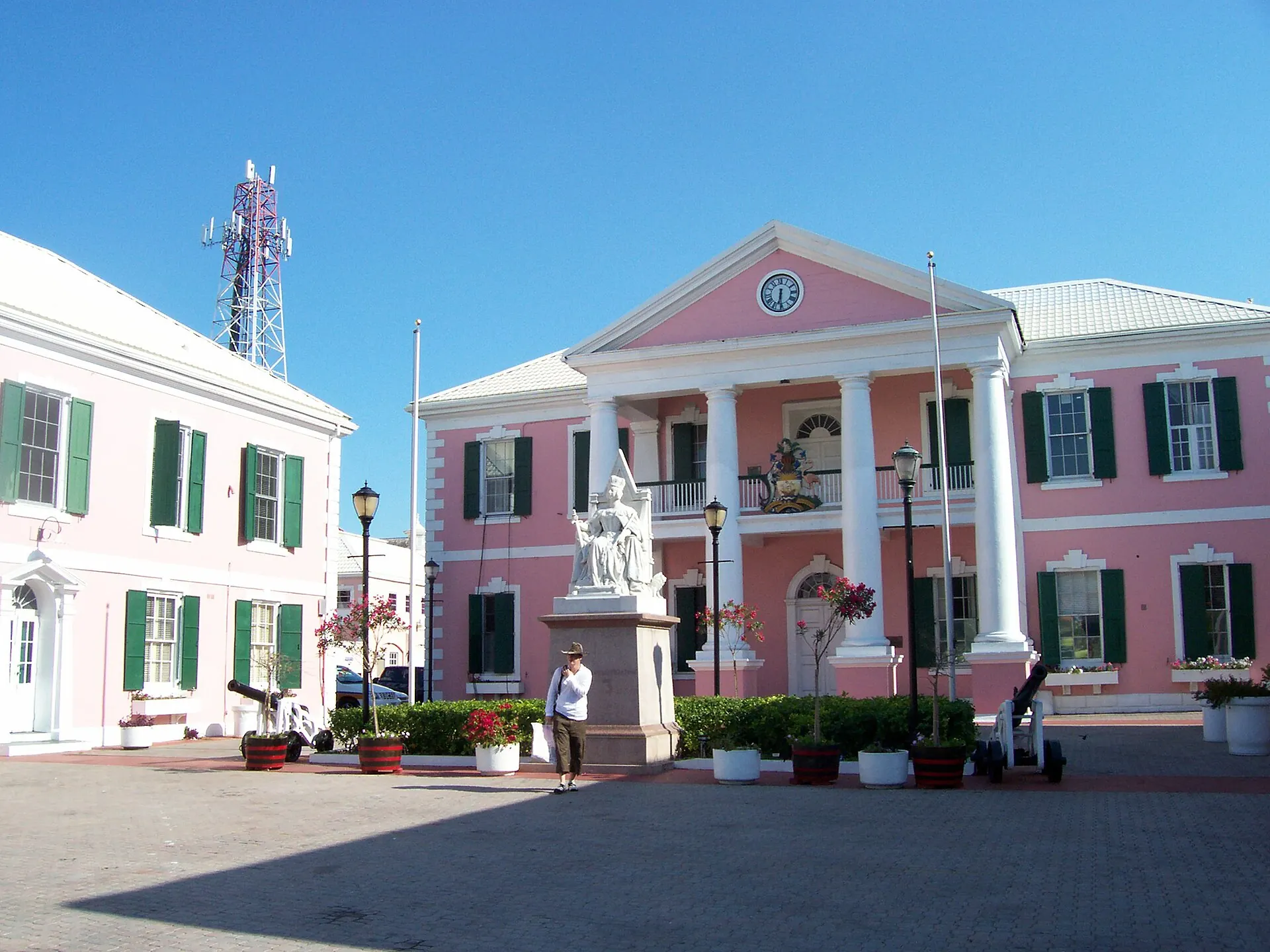
- A 19th-century building in the old centre, a photograph stop on the history route; it is a private building, so look from the street unless your guide arranges a visit, and do not expect an opening time.
Edges out
| To | How | p50 | Climb |
|---|---|---|---|
| Ducor hill | Car west | ~12 min | flat |
| Mamba Point | Car west | ~15 min | flat |
Red lines here
- Crowded streets and markets: keep bags in front and go with a guide or driver.
Deep dive
Around this cluster
Straight-line distance; walk time adds 30% for streets.