Cluster · St George's
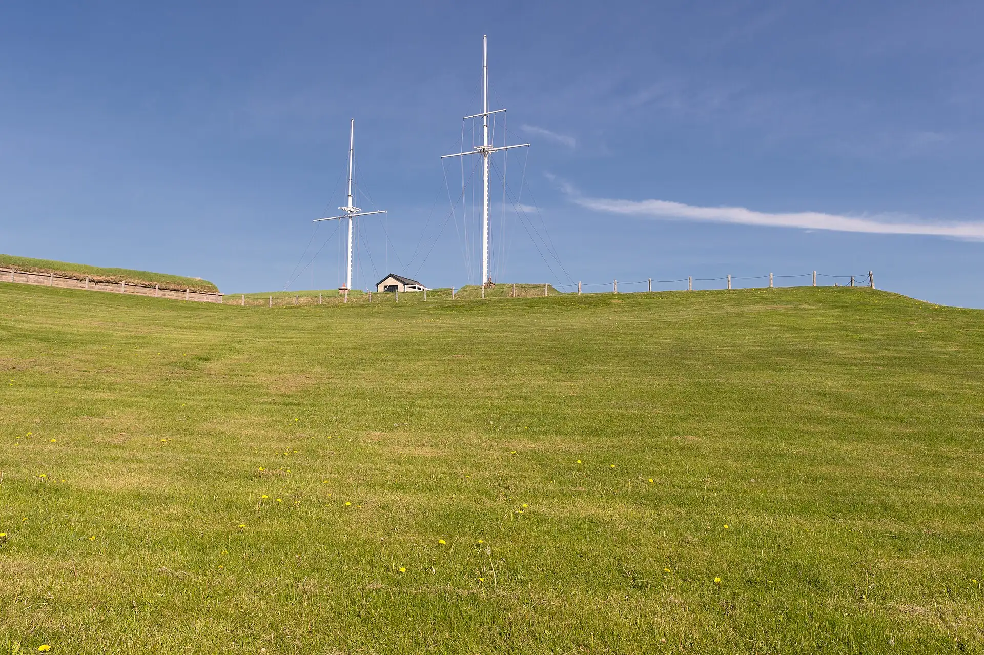
Fort George Hill
Viewpoint cluster: Fort George above the harbour and the old churches around it; go at 16:00 or later, when the heat drops.Viewpoint cluster: Fort George above the harbour and the old churches around it; go at 4:00 PM or later, when the heat drops.
Key facts
- 28″ bags
- forbidden
- Time budget
- 90m
- Rescue coverage
- 100% ≤7′
- max p90 5.2′
- Places
- 1
Rules in force · 9Several islands (Turks and Caicos above all, also the Bah…Hurricane season runs June to November, with the peak fro…
- Caribbean ↗Several islands (Turks and Caicos above all, also the Bahamas and Jamaica) jail visitors for a single stray bullet or cartridge in their luggage; empty every bag and pocket before you pack.
- Caribbean ↗From August to October keep a free last day before your flight home and check the national hurricane centre daily; airports close when a named storm approaches.
- Caribbean ↗Wearing camouflage clothing is illegal for civilians in several islands, including Barbados, Antigua, Saint Lucia, Saint Vincent, Grenada, Dominica, Trinidad and Tobago and Jamaica; leave it at home, children's clothes included.
- Grenada ↗Check entry rules for your passport on official Grenada government sources before you fly.
- Grenada ↗Camouflage-pattern clothing is illegal for civilians: leave it at home.
- Grenada ↗Carriacou and Petite Martinique are still rebuilding after Hurricane Beryl (2024): confirm your accommodation and the ferry before you go.
- Grand Anse and St George's ↗Storms can close the airport and ports for days: check the forecast and your insurance from June to November.
- St George's ↗Hurricane season runs June to November, with the peak from August to October: buy flexible fares and insurance that covers storm cancellations, and avoid a tight connection home.
- St George's ↗Camouflage clothing is illegal for civilians in Grenada: leave it at home.
More
Map to the centre
Add your hotel to get directions from it. · stays in this browser; shared with the pocket card.
Walking weather, next 5 days
Loading forecast…
Forecast: Open-Meteo (CC BY 4.0), model data for this point.
Plan
How the ground walks, and what is here
Bound and physics
Fort George, the hill road and the churches nearby; the residential streets beyond are not part of the visit.
- Slope
- steep hill
- Stairs
- Steps and steep road
- Shade
- low
- Surface
- road and stone
- Sleep here or visit
- visit
On the ground
Where to rest, how to leave, where to sleep nearby
Rescue anchors
A rescue anchor is a spot where you can stop and recover if the walk goes wrong: a bench, a café, a toilet. Every letter on the map is one anchor, and each has a card below. We check that any point in the cluster is within about 7 minutes’ walk of one, so you are never far from somewhere to sit down.
Lettered circles: rescue anchors (green works in any conditions, amber only on hot days). Dashed outline: the cluster. Red dots: spots more than 7 min from any anchor. Drag to move; click the map, then scroll to zoom.
Seating near Fort George
Place to sit · works in any conditions
Shelter or covered doorway
Shelter from rain · Place to sit · works in any conditions
Toilets near Fort George
Shelter from rain · Toilet · works in any conditions
Café or shop
Food & drink · Place to sit · Toilet · works in any conditions
Benches or waterfront rail
Place to sit · works in any conditions
Kiosk or minimarket
Food & drink · works in any conditions
100% of the cluster is within 7 min of an anchor in any conditions (slowest walker, worst cell 5.2 min) · 100% on hot days
Nodes in this cluster
- Go at 16:00 or later, when the heat drops: 30 minutes for the town and harbour view; taxi up and walk down.Go at 4:00 PM or later, when the heat drops: 30 minutes for the town and harbour view; taxi up and walk down.
Edges out
| To | How | p50 | Climb |
|---|---|---|---|
| The Carenage | Short taxi or walk | ~14 min | flat |
| Market Square and the Esplanade | Short taxi or walk | ~9 min | flat |
Red lines here
- Steep and hot: take a taxi up and walk down; watch the edges of the fort walls.
Deep dive
Around this cluster
Straight-line distance; walk time adds 30% for streets.
- PlaceFort George160 m · 3 min walk
- ClusterMarket Square and the Esplanade200 m · 3 min walk
- EatCook-shops, Market Square (confirm locally)460 m · 7 min walk
- EatRoti and patty counters, Market Square (confirm locally)510 m · 8 min walk
- PlaceMarket Square (Saturday market)550 m · 9 min walk
- PlaceGrenada National Museum570 m · 9 min walk